
Why we?
I-Tech Lance is well known for its expertise in GIS Data Conversion and allied technologies. We are a world leader in GIS Data conversion. Our technical staffs are versed with map digitizing to advanced data capture techniques. We have completed hundreds of large scale projects and we have a high degree of expertise in the subject.
We are also into Engineering Data Conversion services.
Our GIS Data Conversion services are offered at extremely competitive prices that make us unique among all other service providers in the same discipline. Our richly experienced team of GIS professionals can deliver with high quality and lowest ever turnaround time as per the specification
Our lab is equipped with state-of-the art facilities. We can cater to any type of requirements. Our services are intended to meet the diverse needs of our clientele quickly and efficiently. Our project methodologies are based on the unique set of customer requirements and challenges.
We've a dedicated & extremely motivated set of employees whose sole aim is to provide services to our clients with a high level of quality. We regularly provide them training on latest technologies to keep them abreast of the latest technology in this service industry.
Our price is always very competitive.
What it is?
GIS data conversion is a process in which geographical data is converted into industry standard digital formats. GIS data conversion services are used widely in mapping industry where simple hard copy maps are scanned into raster images and then they are converted to industry standard vector formats. These vector formats have the unique advantage of easy of storage and manipulation in the GIS environment. The data can be easily and quickly retrieved as and when need arises.
Converting paper-based maps to digital files can be expensive, complicated, and a very time consuming process. Outsourcing this work to a specialized, expert and experienced service provider like I-Tech Lance can be a non expensive alternative.
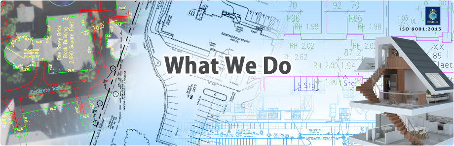
What we do?
Our technical staff will work with you to meet your entire GIS data conversion requirement. We design the geo database as per your requirement and convert your data. Our conversion process are continuously refined to eliminate data loss, improve topological integrity and maximize the utility of the geo database.
I-Tech Lance provides complete solutions for all types of data conversion services.
Services Offered:
- Map data creation and digitization services
- Utility mapping, contour mapping, topographic mapping
- Geo rectification and geo-coding services
- Raster editing
- Rubber-sheeting and layer adjustment
- GIS data conversion and analysis
- GIS based custom application development
- Remote sensing like image processing and classification
- Land base conversion and maintenance
- Survey, aerial photogrammetric
- Cadastral mapping via coordinate geometry and digitizing
- Database attribution in Oracle, SQL, Informix
- Facilities conversion and maintenance
- Reconciliation of source maps and interpretation
Where used?
GIS Data conversion services are widely used in sectors like engineering, utilities, telecom, oil & gas, travel, tourism, transport, medical services, utilities, automotive, retail, real estate, etc.
GIS Data Conversion is a vital resource for a wide range of applications.
Applications:
- Urban Mapping Solution
- Utility Information Systems
- Land Information Systems
- Land Cadastral Mapping
- Topographic Mapping
- Forestry Mapping
- Flood Mapping
- Geological Mapping
Users:
- Land Developers,
- Engineering Firms,
- Survey Companies,
- Utility service providers
- Travel and Tourism Industry
- Transport Service Providers
- Oil and Gas companies
- Automotive Industry
- Retail Industry
- Govt. agencies