|
Why we?
l-TECH LANCE is well known for its expertise in using innovative techniques in Utility Mapping, Data Conversion and related GIS technologies. We offer the complete range of Utility Mapping services which includes but not limited to offers utility conversion services for utility supply networks like water pipe network, gas pipe network, telephone line network, power line network, sewage network, etc. Our experienced professionals are familiar with a wide range of Utility Mapping software packages.
Our Utility mapping systems are equipped with advanced software. We are capable of mapping utilities of various users in the field of GAS distribution, Water distribution, sewage disposal, telephone operators, electrical power distributors, etc.
Advantages of using our utility mapping services:
- Access to topographic information becomes very easy
- Information and statistics at the click of a button
- Structuring of data systematically
- Updating is done efficiently
- Data analysis becomes extremely flexible
- Fewer conflicts with existing utilities
- Minimize site disturbance and restoration
- Enhanced project safety
Our lab is equipped with state-of-the art facilities. We can cater to any type of requirements. Our services are intended to meet the diverse needs of our clientele quickly and efficiently. Our project methodologies are based on the unique set of customer requirements and challenges.
We've a dedicated & extremely motivated set of employees whose sole aim is to provide services to our clients with a high level of quality. We regularly provide them training on latest technologies to keep them abreast of the latest technology in this service industry.
Our price is always very competitive.
What it is?
Utility Mapping is the acquisition of information about different utility supply network like water pipe network, gas pipe network, telephone line network, power line network, sewage network, etc. and documenting the information.
Often the geographic location of utilities is recorded on inferior quality maps and in some cases it is not documented at all. Certainty of supply, environmental protection and efficiency of operations, however, require good basic data. Excavation damage can be largely avoided when reliable information regarding location and description of underground utility lines are available. Repair and replacement of utility lines can be carried out in the optimal manner when based on an efficient GIS/utility mapping system.
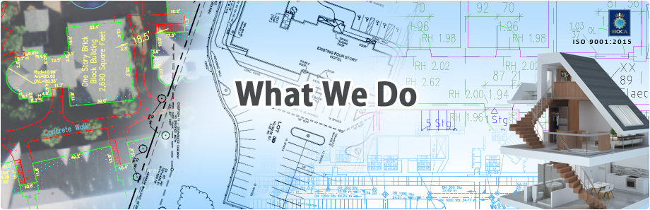
What we do?
Our services include data conversion and documentation of the followings but are not limited to:
- Water pipeline network
- GAS pipeline network
- Communication network
- Sewage network
- Power distribution network (both underground and overhead)
Where used?
Utility Mapping solutions are of benefit to a huge range of clients working in the following sectors:
- Water distribution
- GAS distribution
- Sewage disposal
- Communication providers
- Electrical power distributors
|