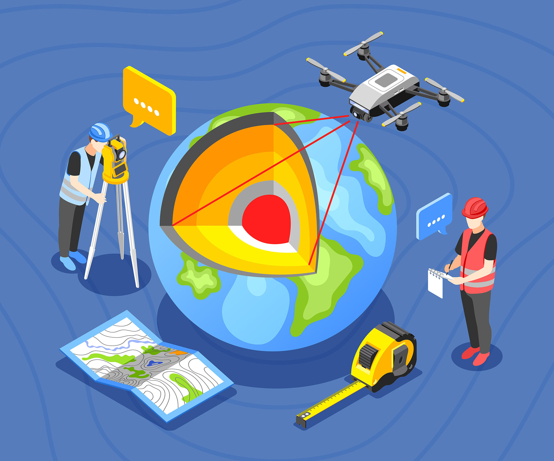
Our GIS & Data Conversion services include:

iTechLance IT specializes in GIS data conversion services, including the digitization of paper maps, raster-to-vector conversion, and seamless integration of CAD and legacy datasets into leading GIS platforms. This ensures greater accuracy, accessibility, and efficiency for businesses and government agencies. Detailed mapping of electric, gas, telecom, water, and sewerage networks for efficient infrastructure management.
iTechLance IT offers specialized topological mapping services that emphasize the spatial connections and relative positioning of geographic elements. These solutions are essential for transportation planning, utility network management, and route optimization, enabling smarter and more efficient decision-making.
At iTechLance IT, we specialize in thematic mapping, delivering maps that highlight specific patterns such as population density, land use, or climate distribution for informed decision-making.
At iTechLance IT, our vector mapping solutions leverage advanced GIS techniques to represent discrete geographic features such as roads, rivers, and administrative boundaries. Highly versatile and scalable, these solutions support applications in urban development, land management, and spatial data editing, enabling clients to achieve greater accuracy and efficiency in their projects.
iTechLance IT provides customized web mapping solutions that make geographic data easily accessible and interactive via the internet. From navigation tools and location-based services to collaborative mapping platforms, our web mapping services empower organizations with real-time geospatial insights.
iTechLance IT provides cartographic mapping services that focus on creating accurate, clear, and visually effective maps for diverse applications.
iTechLance IT provides specialized 3D mapping services that transform geospatial data into detailed three-dimensional models. These solutions are invaluable for urban planning, disaster management, infrastructure development, and simulation exercises—offering clients immersive insights and a deeper understanding of their environments.
At iTechLance IT, our map digitization services bring your traditional maps into the digital age—making them easier to access, share, and integrate into GIS systems.
At iTechLance IT, our georeferencing services accurately align maps, images, and spatial datasets with standard coordinate systems. This process ensures seamless integration of multiple data layers, improves the reliability of spatial analysis, and supports applications in land management, urban planning, and infrastructure development.
At iTechLance IT, our parcel mapping services focus on creating precise and comprehensive maps of land parcels. By clearly defining boundaries, ownership details, and related attributes, we support efficient property assessment, urban planning, taxation, and land management. Our solutions ensure that stakeholders have reliable geospatial data for smarter decision-making.
At iTechLance IT, our orthophoto digitization services focus on extracting and digitizing key features from high-resolution aerial and satellite images. This process enables accurate mapping of roads, buildings, utilities, and natural features, supporting projects in urban planning, land management, and infrastructure development. By ensuring high precision, we help clients maximize the value of their geospatial imagery.