
We have served globalized industries of real estate developers, land developers,oil & gas,telecom,architects, engineering, utility, forestry, transport, and so on. As we cater to the needs of our esteemed clients with our technical proficiency they come to us but they keep coming back – locally and internationally – because we have the experience they need, the people they trust and the commitment they expect. This ensures you receive maximum responsiveness, and cost effectiveness so this drives us to meet the extraordinary results.
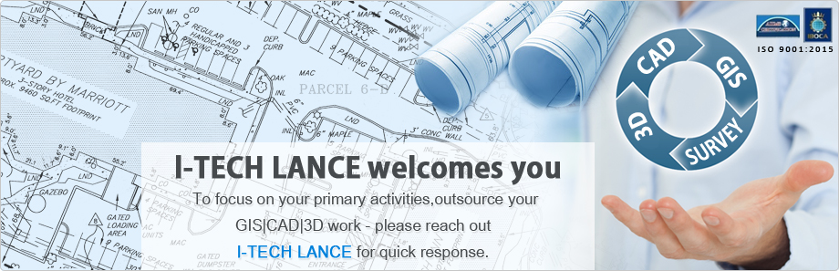
Our expert team of qualified professionals comprising Programmers, Engineers, CAD professionals, Designers & Architects possessing vast knowledge and experience in CAD drafting, Data Conversion, GIS Data Conversion and 3D Visualization services has raised the standards of delivering prolific services and strives to achieve the complex targets set by us. Our engineers render the finest of 3D visualization services in India delivering a potential tool to the architects and real estate developers.Similarly,Parcel Mapping, Cadastral Mapping, Topographical Survey Mapping, Geometric Service and utility mapping in India include some of the services that we take pride in delivering the best.
We also provide 3D Visualization/Rendering Services: Interior Designing, Exterior Designing, Floor Plans, Photo Montage, Panorama View, Walk-Through Animation, etc. Our client-friendly services and interactions have helped us to retain our clients who’ve in turn reposed their faith in us to deliver time-bound and cost-productive solutions for their needs.
We look forward to creating the difference for you being passionate about your success.

